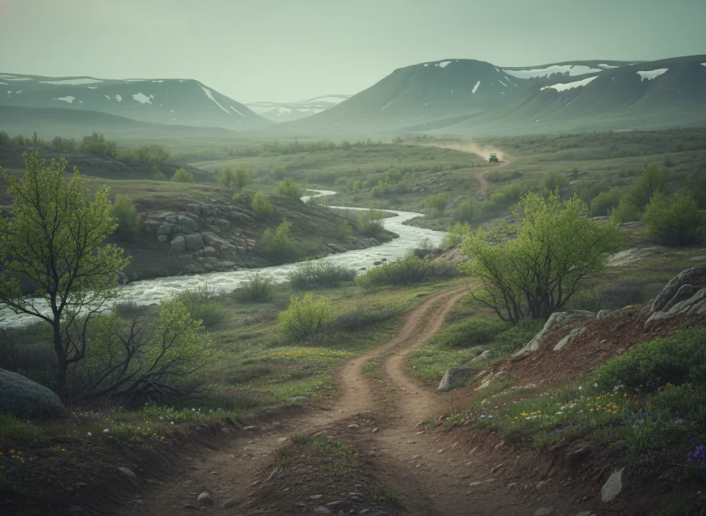
The Superior National Forest encompasses 3.9 million acres of the Minnesota Arrowhead, St. Louis, Lake, and Cook counties along the Canadian border in northeastern Minnesota, the boreal forest lake country between the Mesabi Iron Range and the Lake Superior shore that is unlike any other national forest landscape in the eastern United States. The OHV trail system operates on designated routes in the non-wilderness portions of the forest, with the Laurentian, Tofte, and Kawishiwi Ranger Districts providing the primary riding terrain accessible from the Ely, Grand Marais, and Two Harbors gateways. The Boundary Waters Canoe Area Wilderness (1.1 million acres of the forest's lake-and-portage interior, the most visited wilderness area in the United States), defines the northern half of the forest and is closed to motors of all kinds; the OHV designated routes operate entirely in the southern half of the forest between the BWCAW boundary and the Iron Range. The terrain outside the wilderness boundary is the working forest landscape of the Minnesota Arrowhead: aspen-birch stands on the glacially deposited till uplands, the balsam fir and black spruce of the wetter swales and lowlands, the Canadian Shield granite outcrops that emerge through the thin glacial soil, and the hundreds of lakes that define the Arrowhead's lake-studded character. The iron ore mining legacy of Ely, Babbitt, and Hoyt Lakes gives the surrounding community an industrial-natural duality unlike the wilderness tourism focus of the Canadian border. The forest serves the Duluth-Superior metropolitan area (290,000), the Twin Cities market (3.6 million, 3.5 hours south), and the Iron Range communities that provide year-round local use. Minnesota OHV registration required. Kawishiwi Ranger District at Ely (218-365-7600) manages northern district OHV trail access.
Hours
Accessible approximately May through October; routes close under snow. No day-use fee. Minnesota OHV registration required on designated routes.
Phone
218-626-4300Trip openings, seasonal updates, and the occasional deal, straight to your inbox.
FAQ
Everything you need to know before you get started.
Have a question, or ready to book? Reach out and we’ll get right back to you.